 /home/ubuntu/Pictures/screenshot-20250422-114158.png
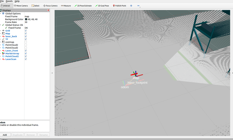
在仿真环境中,cartographer使用odom建图的时候,机器人向前行驶,rviz中显示机器人不动,map往后行驶,tf显示map和base footprint在一起,odom在往后行驶,下面是使用的lua参数,
include "trajectory_builder.lua"

options = {
  map_builder = MAP_BUILDER,
  trajectory_builder = TRAJECTORY_BUILDER,
  map_frame = "map",
  tracking_frame = "base_link",
  -- base_link改为odom,发布map到odom之间的位姿态
  published_frame = "odom",
  odom_frame = "odom",
  -- true改为false,不用提供里程计数据
  provide_odom_frame = false,
  -- false改为true,仅发布2D位资
  publish_frame_projected_to_2d = true,
  -- false改为true,使用里程计数据
  use_odometry = true,
  use_pose_extrapolator = false,
  use_nav_sat = false,
  use_landmarks = false,
  -- 0改为1,使用一个雷达
  num_laser_scans = 1,
  -- 1改为0,不使用多波雷达
  num_multi_echo_laser_scans = 0,
  -- 10改为1,1/1=1等于不分割
  num_subdivisions_per_laser_scan = 1,
  num_point_clouds = 0,
  lookup_transform_timeout_sec = 0.2,
  submap_publish_period_sec = 0.3,
  pose_publish_period_sec = 5e-3,
  trajectory_publish_period_sec = 30e-3,
  rangefinder_sampling_ratio = 1.,
  odometry_sampling_ratio = 1.,
  fixed_frame_pose_sampling_ratio = 1.,
  imu_sampling_ratio = 1.,
  landmarks_sampling_ratio = 1.,
  publish_tracked_pose = false,
}


-- false改为true,启动2D SLAM
MAP_BUILDER.use_trajectory_builder_2d = true
TRAJECTORY_BUILDER_2D.submaps.grid_options_2d.resolution =0.02

-- 0改成0.10,比机器人半径小的都忽略
TRAJECTORY_BUILDER_2D.min_range = 0.3
-- 30改成3.5,限制在雷达最大扫描范围内,越小一般越精确些
TRAJECTORY_BUILDER_2D.max_range = 30 --3.5
-- 5改成3,传感器数据超出有效范围最大值
TRAJECTORY_BUILDER_2D.missing_data_ray_length = 3.
-- true改成false,不使用IMU数据,大家可以开启,然后对比下效果
TRAJECTORY_BUILDER_2D.use_imu_data = false
-- false改成true,使用实时回环检测来进行前端的扫描匹配
TRAJECTORY_BUILDER_2D.use_online_correlative_scan_matching = true
-- 1.0改成0.1,提高对运动的敏感度
TRAJECTORY_BUILDER_2D.motion_filter.max_angle_radians = math.rad(0.1)

-- 0.55改成0.65,Fast csm的最低分数,高于此分数才进行优化。
POSE_GRAPH.constraint_builder.min_score = 0.65
--0.6改成0.7,全局定位最小分数,低于此分数则认为目前全局定位不准确
POSE_GRAPH.constraint_builder.global_localization_min_score = 0.7

-- 设置0可关闭全局SLAM
-- POSE_GRAPH.optimize_every_n_nodes = 0

return options